Tada Trek: Discovering the Lost British Fort
August 21st, 2009
10 gruelling hours, 4 brave souls, 1 lost fort … 1 mission! To find the lost British Fort among the beautiful Tada Hills 🙂
The Climb Uphill
The day started early with the blessing of the rain Gods. The downpour was so heavy that I was having my own doubts about whether we will proceed as planned. But a quick call to Ananth and Sujai a.k.a Mokka Boy removed all doubt. All plans were intact. A quick shower and 30 minutes later, the four of us met.
After a high-five and hip-hip-hooray, we wrroooommed on Mohan’s A-star to Tada to find the long lost British Fort and a road that led to it. Armed with a GPS receiver and lots of food, we stood at Tada’s parking lot as if we were going to climb Mount Everest :). A few passers by even gave us a strange look. But none of that would stop us.
As were walking on the road towards the regular Tada waterfall, Sujai suddenly looked at the GPS and shouted, “Guys, stop!”. Wondering what got him excited, we peered in to the GPS device & found we were standing near the edge of the road that led to the old Fort that was marked on the GPS. Quickly, we decided to chuck the normal route and proceeded to take the hilly route. There wasn’t even a beaten trail that we could follow. We made trails as we progressed. The hill on which we were hiking turned out to be a small 50m mound. Nevertheless, we trudged along following the GPS. We were exactly overlaying the ancient road marked on the GPS with the path we were taking.
We had quite some way to go … but we were on track. At the top of the 50m mound, we were about 250m away from the Fort as per the GPS device. But vegetation was slightly dense and hence, we couldn’t even see anything that remotely resembled a fort. We moved to the adjacent hill from the mound. This was a big one, poking a hole in the sky through the clouds. Crushing twigs and thorns we were on a steady ascent & never stopped anywhere. The climb was getting steeper by the minute.
When we were around 50m of the radius of the Fort as per the GPS device, the four of us split in 4 directions in search of the Fort. After 30 minutes of searching, we found not even a stone that could be considered part of an old fort. We zoomed in to the GPS device at 5m and moved along the direction it was pointing in the map. At the exact point where it was pointing, IT WAS THERE!! A huge dense bush of overgrown creepers and dead trees. We went round and round about it in circles to make sure we missed nothing. But that was all there was. Just a dense growth of vegetation. We all laughed heartily at the madness, had a pear each to celebrate the “success” and decided to conquer the peak of the hill we were on.
Reaching the Peak
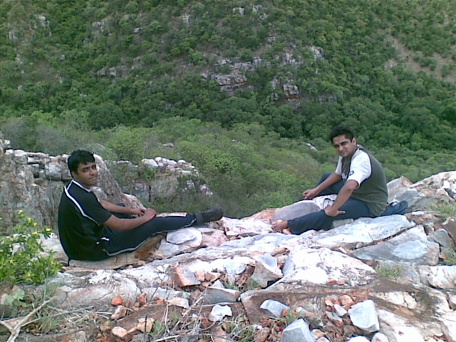
After trekking for about 30 minutes, we reached near the peak. The peak was a huge rock that was bent at an awkward angle. Climbing it with our backpacks wasn’t possible. Hence, we left our bags and proceeded to climb up the rock. There were nice crevices and strong roots that helped us climb the rock. After a tiny struggle, we managed to reach the top, only to find that the peak was even higher. This rock was huge and hid the peak from the angle we were looking. On top the rock we were standing, there was a magnificient view.
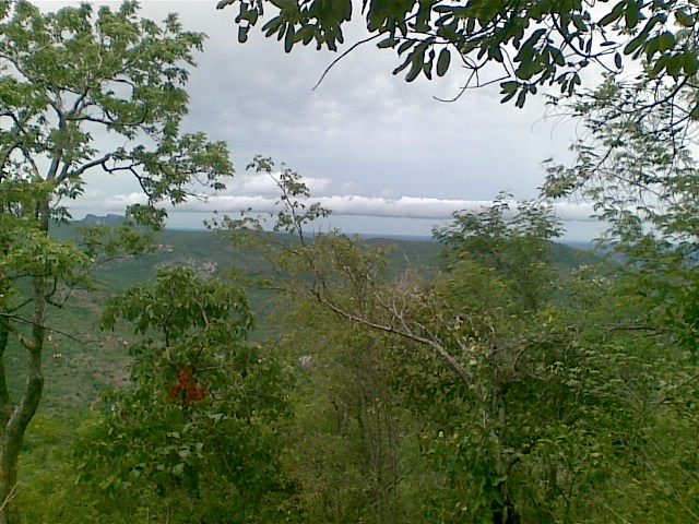
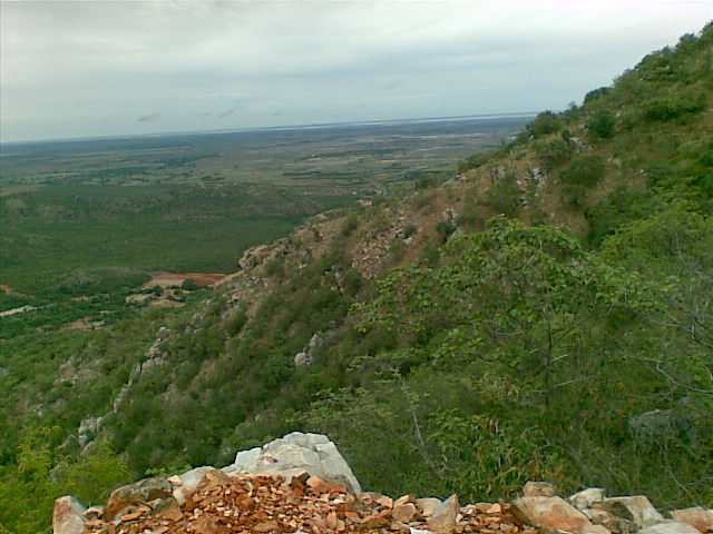
Straight opposite to us, there was a “very green” hill that was sandwiched between two hills. This center hill had a cap of the most beautiful fluffy white clouds. The breeze was too cold and nice to ignore. All the hills were ending on the horizon to our right and we were given a lush view of the plains far below until the horizon. Our joy knew no bounds and spirits soared! With a high spirit, Mohan started ascending the rocks above, quickly followed by the rest of us. At a certain point, I couldn’t climb at all. The rock was just too high for me. Others somehow managed. But I was not to be left behind. After 3-4 minutes of pondering what to do, I climbed down to the next level, grabbed a tree root and with its help got on top of the offending rock in a swing :D. It was kind of cake walk after that.
We Found the Fort!
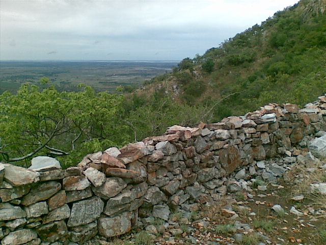
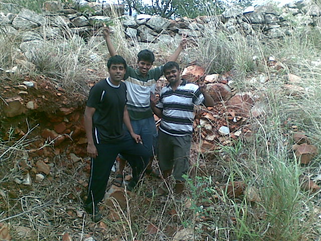
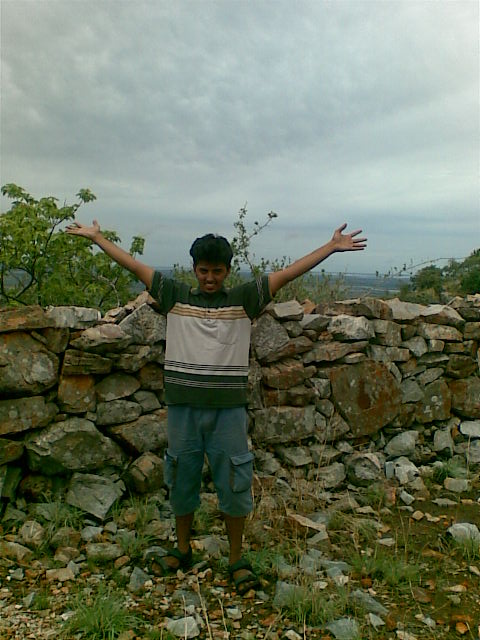
Suddenly, Mohan squealed at the top of his lungs that he saw a wall of rocks! The three of us ran in the direction he was pointing. At the place where we were standing, 400m above mean sea level, there was a 3.5 foot high wall that ran for about 100m until the next hill. We were shocked and surprised at the same time. Surprised because we found the old Fort walls on our own. Shocked because the US Army Map from where we copied the co-ordinates of the Fort were wrong! We could not have copied incorrectly because we were master copy cats.
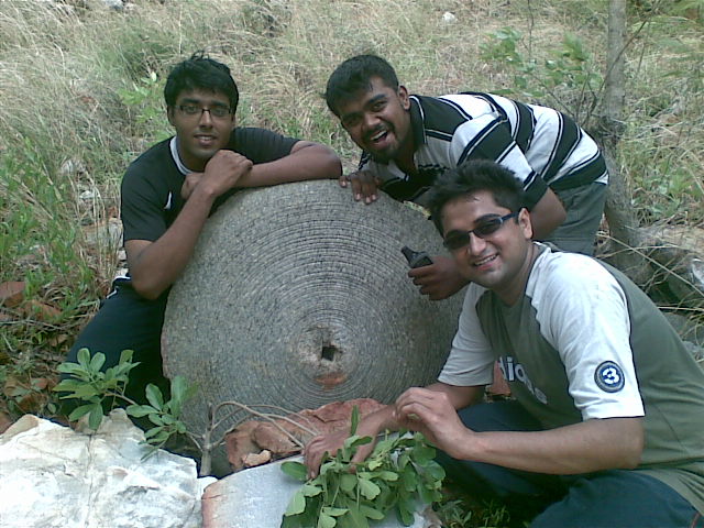
Totally ecstatic at the discovery of the Fort, we were looking for more clues. We found a few empty bunkers below the walls and even found a round rock design with a hole in the center. Then we passed another structure that looked like an entrance. Going through the entrance and spending time at the top of the hill and the world, we were overjoyed. No words could do justice to the mission we accomplished.
By this time, the rain Gods were threatening us again. The weather became cloudy and it looked like it could pour anytime. We started descending. At a particular point during the descend, we had jump through a thorny bush. While trying to avoid it, I made the mistake of moving backwards. Ten thorns pierced through my trousers and underwear and punctured my bum. Around the same time, the wind was shaking the leaves to make them tickle at unwanted locations. With a punctured bum, I made a small leap and reached the slope. All of us soon assembled, rested for sometime, picked our bags and made our way down the slope.
The slope was pretty steep. It would have been at around 50 degrees because we were constantly pulled down by gravity and couldn’t stand at all. All of us at some point, slipped. But instead of falling, we skidded to a small distance by taking advantage of the slip. Tucking away the GPS, we were moving towards the voices we were hearing at the bottom of the hill. After an hour’s descent, we reached the Tada stream and happily jumped in to cool off our butts and bodies.
Mission Accomplished!
Sitting neck deep in water, we unpacked our food and were polishing them off one by one. First were the buns, then the chips, some cookies, poli, mixture, apple, pear etc. Soon, it was time to start home. Ambling our way out, we reached our car, dried ourselves and got on it to drive to home-sweet-home. It was a short trek and a very enjoyable one. I loved every moment of it.
August 23rd, 2009 at 11:56 am
hi aswin
its really a nice adventure
could u please also publish the gps trace of ur path to the fort.
it will be of great guidance to future adventurers to that British fort
srini
August 23rd, 2009 at 3:52 pm
All in a day’s work ? Cool! 🙂
Sounds like you guys had fun! 🙂
August 23rd, 2009 at 4:23 pm
Srini, I will try it get it from them and publish it here.
Jass, yeah it was superb fun 😀
September 3rd, 2009 at 11:53 pm
[…] Tada Trek – Discovering the lost British Fort […]
November 3rd, 2009 at 9:48 am
[…] Tada Trek – Discovering the lost British Fort […]